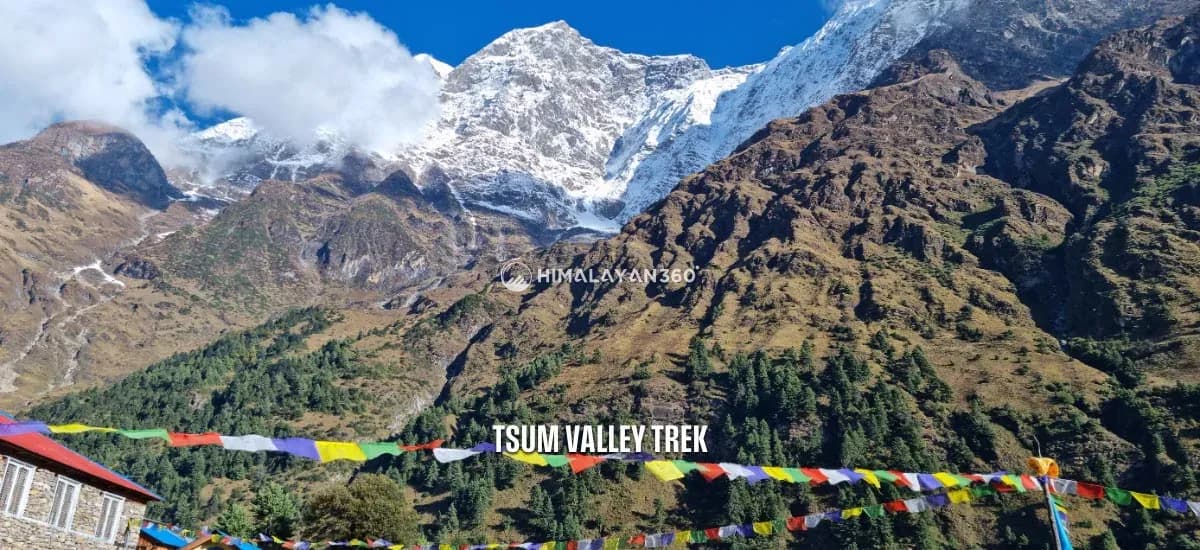
If you are looking for a unique and quiet trekking experience in Nepal away from commercialized trails, Tsum Valley Trek is your ideal option. The Tsum Valley is tucked away in the secluded and restricted part of Gorkha.

15 Days
The Manaslu region sits in the Gorkha district of north central Nepal, wrapped around Mount Manaslu, the eighth highest mountain in the world at 8,163M. It is a restricted area, so every trek here is guided and permitted, and it opened to foreigners only in 1991. That late start is why the valley still feels less worked than Annapurna or the Khumbu.
3 trips available
From $920 per person
14–20 days

15 Days
If you are looking for a unique and quiet trekking experience in Nepal away from commercialized trails, Tsum Valley Trek is your ideal option. The Tsum Valley is tucked away in the secluded and restricted part of Gorkha.

14 Days
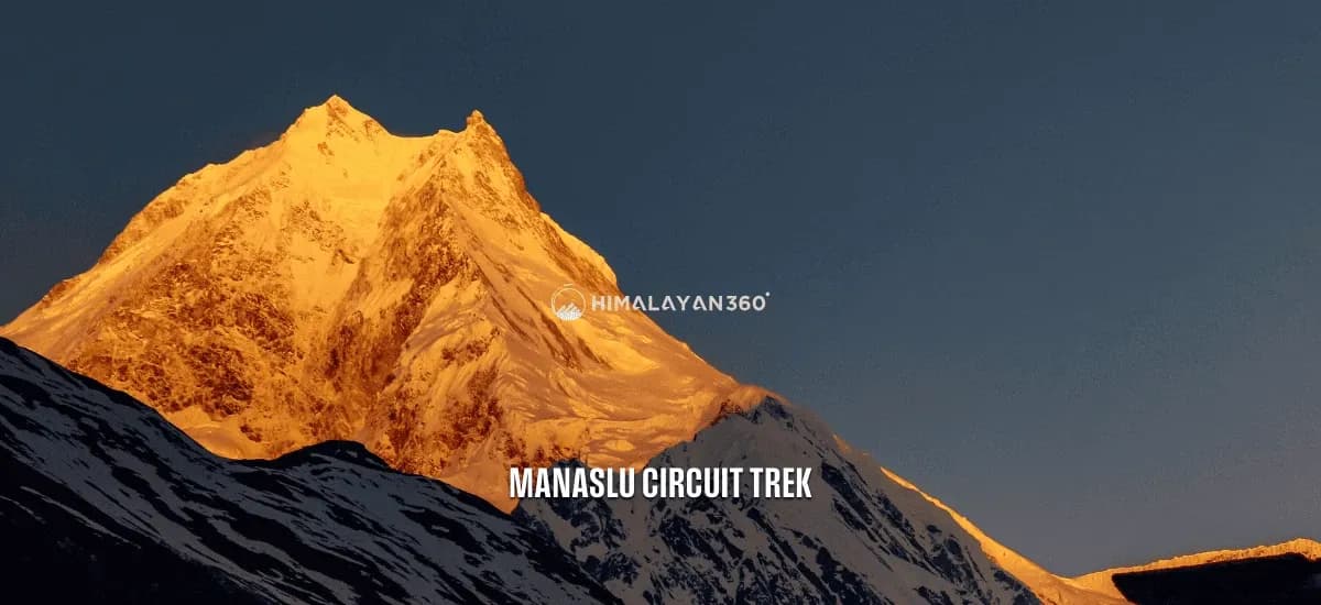
The Manaslu Circuit Trek is a stunning 13-18 day teahouse trek in Nepal, circling the world’s 8th highest mountain (Manaslu 8,163m), and covers about 144KM (89 Miles). The trek journey starts at Machha Khola and slowly climbs through farmlands and small villages.

20 Days
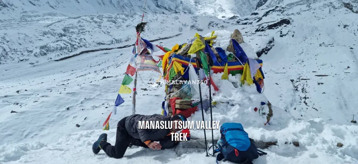
The Manaslu Tsum Valley Trek is an adventure around Mount Manaslu, the world’s eighth-highest peak at 8,163 meters (26,781 feet). This trek takes you through the scenic [Manaslu Conservation Area](/region/manaslu-region-trek/the-manaslu-conservation-area) and into the remote Tsum Valley, close to the Tibetan border.
The Manaslu region is the country around one mountain. Mount Manaslu (8,163M) is the eighth highest in the world and the highest point in the Gorkha district, and everything here, the trails, the villages, the permit rules, is arranged around it. Below is the region itself: the mountain, the conservation area that protects it, and the people who live inside the boundary. For the walking, see the Manaslu Circuit Trek guide and what it costs.
| Location | Gorkha district, north central Nepal, Mansiri Himal range |
| Highest point | Mount Manaslu, 8,163M / 26,781FT |
| Other major peaks | Himalchuli 7,893M, Ngadi Chuli 7,871M, Shringi Himal 7,187M |
| Protected area | Manaslu Conservation Area, 1,663 sq km, declared December 1998 |
| Managed by | National Trust for Nature Conservation (NTNC) |
| Elevation range | 600M to 8,163M |
| Residents | About 9,000, mainly Nubri, Tsumba, Gurung and Tamang |
| Main river | Budhi Gandaki, about 150KM from the Tibetan border |
| Opened to foreigners | 1991 |
| Treks inside it | Manaslu Circuit, Tsum Valley, Manaslu Tsum Valley combined |
The name comes from the Sanskrit manasa, meaning intellect or soul, and the mountain is often translated locally as "mountain of the spirit". At 8,163M it is the eighth highest in the world and the highest point in the Gorkha district, which is also where Prithvi Narayan Shah launched the campaign that unified Nepal. Walk here and you are in the country's founding ground as well as its high country.
A Japanese team made the first ascent in 1956, and Manaslu has been closely associated with Japanese mountaineering ever since. The trekking route around it only opened to foreigners in 1991, which is why the valley still feels less worked than Annapurna or Khumbu. Two generations of trekkers have walked those, and one has walked this.
You will see Manaslu called the killer mountain. That reputation belongs to the climb, not the trek.
It comes from the summit's fatality rate and from avalanche years such as 2022, all of it above 7,000M on an expedition route that has nothing to do with the trekking trail. Manaslu is dangerous to climb for the same reasons every 8,000M peak is: thin air, loaded slopes, and a summit day long enough that weather can change under you. It is not, on the numbers, the deadliest of them. Annapurna I and K2 are consistently worse.
The trekking circuit does not go near it. Larkya La at 5,106M is a walking pass, crossed by thousands of people a year without ropes, crampons or technical skill. If the name has put you off, it should not. The reasons this trek is hard are distance, altitude and remoteness, and those are covered honestly in the trek guide.
Everything above Jagat sits inside the Manaslu Conservation Area, declared in December 1998 and covering 1,663 square kilometres of the Gorkha district, from about 600M in the lower valley to the summit at 8,163M. It is managed by the National Trust for Nature Conservation rather than by the government directly, which is why the MCAP fee on your permit goes to a trust and not a ministry.
That fee is the reason the valley looks the way it does. Roughly 9,000 people live inside the boundary, mostly Nubri and Tsumba, and the conservation model here funds their schools, health posts, trail repair and drinking water from trekking permits rather than fencing them out. It is community-led by design, because environmental protection in a valley with no road only works if the people living in it are better off for the rules.

The conservation area lies within the Mansiri Himal range. It borders the Tibetan Plateau to the north, the Annapurna Conservation Area to the west and the Ganesh Himal to the east, and the ground rises from subtropical river valley to permanent snow inside a single day's walk in places.
The Budhi Gandaki is the main waterway. It flows about 150KM from the Tibetan border down the centre of the region, and the circuit follows it for most of the walk in. Between Jagat and Deng it runs through a gorge with high cliffs on both sides, which is the stretch of suspension bridges and cut rock stairways that people remember. West of Larkya La the Dudh Khola takes over, running down the Bimthang valley to join the Marsyangdi and connect this region to Annapurna.
Higher up, the Larkya and Pungyen glaciers cover the slopes. Birendra Lake (3,691M) sits below Manaslu Base Camp, turquoise with meltwater off the Manaslu Glacier, and is the standard acclimatisation walk from Samagaun. Kal Tal, the black lake above Prok village, is the one almost nobody visits.
The region supports more than 2,000 species of flowering plants across roughly a dozen forest types, because the land climbs through so many climate zones at once.
| Altitude | Forest type | What grows there |
|---|---|---|
| 600M to 2,000M | Subtropical | Sal, Schima, Castanopsis, bamboo groves, wild banana |
| 2,000M to 3,000M | Temperate | Oak, maple, blue pine, rhododendron in spring |
| 3,000M to 4,000M | Subalpine | Juniper, birch, fir. Snow cover about half the year |
| Above 4,000M | Alpine | Meadow, then lichen and hardy ground plants above 5,000M |
Official figures record 33 species of mammals and 110 species of birds inside the boundary, alongside reptiles and amphibians. Later surveys put the counts higher. The wide elevation range and the small human footprint are what keep species here that have gone from busier trekking regions.
| Group | Recorded | Notable species |
|---|---|---|
| Mammals | 33 to 39 species | Snow leopard, red panda, Himalayan black bear, musk deer, Himalayan tahr, blue sheep, grey wolf, Himalayan goral |
| Birds | 110 to 201 species | Himalayan monal, golden eagle, lammergeier, snow partridge, Tibetan snowcock, blood pheasant, satyr tragopan |
| Reptiles and amphibians | 16+ species | Himalayan toad, brook frog, oriental rat snake, garden lizard |
Realistically, what a trekker sees is blue sheep above Samdo and Himalayan tahr on the steep ground lower down. Snow leopard and red panda live here and are almost never sighted. Birdwatchers should look for the Himalayan monal, Nepal's national bird, in the forest between Deng and Namrung.
Three communities live inside the boundary and they do not share a background. The lower valleys below Jagat are Gurung and Tamang, farming terraces of millet and maize. The upper Nubri valley around Lho, Samagaun and Samdo is ethnically Tibetan, settled in part by refugees who crossed the border above Samdo. Tsum Valley to the east is its own case again, with a Buddhist tradition older than the Nepali state.
Monasteries such as Pungyen Gompa on the glacier above Samagaun and Ribung Gompa at Lho still function, and mani walls line the trail into every village. The Tibetan character of the upper valley shows most clearly at Lhosar, the Tibetan new year, set by the Tibetan calendar rather than the Nepali one, so it usually falls in February. Walk here in late winter and you may meet it.
The cultural heritage is as much a reason for protection as the wildlife is, which is why the conservation rules ask visitors to treat these villages as homes rather than exhibits.
| Elevation zone | Climate | Daytime | Night |
|---|---|---|---|
| Lower, below 2,000M | Subtropical | 15°C to 30°C | 8°C to 15°C |
| Mid, 2,000M to 3,500M | Temperate | 10°C to 20°C | 0°C to 10°C |
| High, above 3,500M | Alpine | -5°C to 10°C | -10°C to -25°C |
Spring, March to May, and autumn, September to November, are the trekking seasons. Season choice by trek is covered in the guide.
Permit types and 2026 prices are set out in full in the trek guide.
There is no airstrip and no road inside the conservation area, so every trip starts with a drive. The trailhead at Machha Khola is about 160KM northwest of Kathmandu and takes 8 to 10 hours by road, paved as far as Arughat and rough after that. Public buses leave Gongabu early; a private jeep is faster and carries a group with its guide and porters.
You enter the conservation area on foot between Jagat and Deng on the second walking day, and leave it on the far side of Larkya La at Dharapani, where the Annapurna Conservation Area begins. Beyond Samagaun there is no vehicle access at all, which is why evacuation from the upper valley is by helicopter only.
The three trips above use the same trailhead and the same three permits, and differ in what they add.
Read the Manaslu Circuit Trek guide for difficulty, the day by day route, permits and packing, and the cost page for what it comes to in total. Make an enquiry and we will tell you honestly whether your dates work.
In the Gorkha district of north central Nepal, in the Mansiri Himal range. It borders Tibet to the north, the Annapurna Conservation Area to the west and the Ganesh Himal to the east. The trailhead at Machha Khola is about 160KM northwest of Kathmandu, 8 to 10 hours by road.
No. Manaslu has a high fatality rate for an 8,000M peak, which is where the killer mountain name comes from, but Annapurna I and K2 are consistently deadlier. All of that concerns the climb above 7,000M on the expedition route. The trekking circuit tops out at Larkya La, 5,106M, and does not go near the climbing route.
Because of the summit's fatality rate on the expedition route, and because of avalanche years such as 2022. The name belongs to the climb, not to the trek. Thousands of trekkers a year cross Larkya La at 5,106M without ropes or technical skill, on a trail that never touches the climbing route.
It covers 1,663 square kilometres of the Gorkha district and was declared in December 1998. It runs from about 600M in the lower Budhi Gandaki to the summit of Manaslu at 8,163M, and is managed by the National Trust for Nature Conservation rather than by the government directly. About 9,000 people live inside the boundary.
Blue sheep above Samdo and Himalayan tahr on the steep ground lower down are the two you have a realistic chance of seeing. Snow leopard, red panda and Himalayan black bear live here but are almost never sighted. Birdwatchers should look for the Himalayan monal, Nepal's national bird, in the forest between Deng and Namrung. Official figures record 33 mammal species and 110 bird species.
It comes from the Sanskrit manasa, meaning intellect or soul, and is usually translated locally as mountain of the spirit. A Japanese team made the first ascent in 1956, and the mountain has been closely associated with Japanese mountaineering ever since.
Three. The Manaslu Circuit Trek, the full loop over Larkya La. The Tsum Valley Trek, into the side valley north east of Lokpa. And the combined Manaslu Tsum Valley Trek, which does both. All three start at Machha Khola and all three need the same three permits.
No. A government licensed guide is compulsory throughout the restricted area between Jagat and Dharapani, and one guide may lead a maximum of seven trekkers. The two-trekker minimum was removed on 22 March 2026, so a single trekker can now hold the permit, but they still walk with a guide.