15 days Tsum Valley Trek

Destination

Nepal, Manaslu Region

Max. Altitude

4,200m/13,778ft

Difficulty

MediumYou need to have good physical condition and be in top form. You'll also require the right clothes for weather conditions and food items such as snacks or lunch breaks from your hiking adventure; water is essential too! This type of activity takes time, so ensure you're physically able to get enough rest before starting any trips.

Best Season

Mar, Apr, May, Sep, Oct, Nov

Transportation

Local transport

Start / End

kathmandu/kathmandu

Accommodation

Tea house

Meals

B.L.DBreakfast Lunch Dinner

Trek Distance

147.2KM/91Miles

If you are looking for a unique and quiet trekking experience in Nepal away from commercialized trails, Tsum Valley Trek is your ideal option. The Tsum Valley is tucked away in the secluded and restricted part of Gorkha. Its trekking trails are lesser known to the world as it was only opened to outsiders in 2008. It is still not easily accessible and remains untouched by modernization. However, it is also precisely why the region has one of the most well-preserved Tibetan cultural heritages. The trails are also quiet and serene, with thrilling challenges. You will get to trek through raw nature and diverse landscapes, and you will travel close to the Tibetan border.

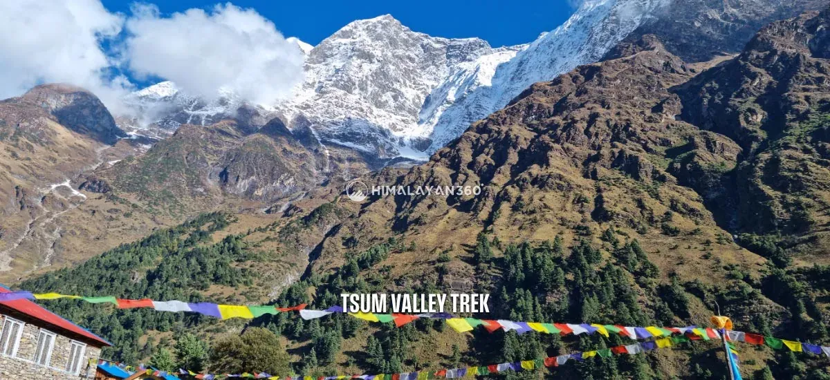
Tsum Valley Trek is an adventurous journey as well as a cultural trip. It is a sacred valley blessed by Guru Rinpoche Padmasambhava himself. During the trek, you will pass several traditional settlements, ancient monasteries, gompas, chortens, mani walls, and colorful prayer flags. The hidden valley is home to locals who follow the ancient Bon Po and Tibetan Buddhism. You will trek within the Manaslu Conservation Area and ascend to Ganesh Himal Base Camp (4,200 meters) during the trek. Similarly, you can witness gorgeous panoramas of Mount Manaslu (8,163 meters), Ganesh Himal (7,140 meters), Himalchuli (7,893 meters), and more. Tsum Valley is truly a hidden gem, and the trek will be a wonderful opportunity to explore raw and rural Nepal.

Per Person From

$965

15 Days

Experts for help

Ask our travel experts about customising this trip.
Build Your Custom Trip

Per Person From$96515 Days

Major Highlights of 15 days Tsum Valley Trek

  • Get a chance to explore the hidden gem of the Manaslu region, the Tsum Valley.
  • Experience the raw nature and unspoiled Himalayan wilderness.
  • Trek to the remote and restricted area close to the Tibetan border.
  • Ascend from the subtropical dense rhododendron verdant to alpine meadows within the Manaslu Conservation Area.
  • Traverse on off-beat, quiet, and less-traveled trails to the Tsum Valley.
  • Navigate through charming settlements, rivers, valleys, suspension bridges, and waterfalls.
  • Hike up to the Ganesh Himal Base Camp at an elevation of 4,200 meters.
  • Witness the magnificent mountain panoramas of Mount Manaslu (8,163 meters), Ganesh Himal (7,140 meters), Himalchuli (7,893 meters), and more.
  • Visit the largest monastery of the Tsum Valley, Mu Gompa.
  • Take a closer look at the ancient Bon Po culture and immerse yourself in local hospitality.

15 days Tsum Valley Trek at a Glance

Distance, walking time and high point for each day
DayItineraryDistance / TimeAltitude
01Arrival at Tribhuvan International Airport in Kathmandu and transfer to hotel (1,400m/4,593ft)1,400 m
02Trek Briefing and Preparation of Manaslu Restricted Area Permit
03Kathmandu to Machha Kholaroad transfer150 km9 hrs1,400 m
04Machha Khola to Jagat22 km7 hrs1,410 m
05Jagat to Lokpa17 km7 hrs2,240 m
06Lokpa to Chumling6.3 km5 hrs2,386 m
07Chumling to Rachen Gompa10.5 km6 hrs3,240 m
08Rachen Gompa to Nile and to Mu Gompa then back to Nile12.4 km7 hrs3,700 m
09Nile to Gumba Lungdang (3,200m/10,499ft)20 km8 hrs3,360 m
10Hike to Ganesh Himal Base Camp12 km7 hrs4,200 m
11Gumba Lungdang to Lokpa (2,240m/7,349ft)15 km7 hrs3,200 m
12Lokpa to Jagat (1,410m/4,626ft)17 km7 hrs2,240 m
13Jagat to Machha Khola (860m)22 km8 hrs1,410 m
14Machha Khola to Kathmandu (1400m)road transfer150 km9 hrs1,400 m
15Transfer to the International Airport for your Final Departure
On foot, across 13 trekking days154.2 km69 hrs4,200 m

Reviews from our Guests

From travellers who walked this exact itinerary.

★★★★★

We spent nine days in the valley and passed very few other groups. Gumba Lungdang was the most atmospheric place I stayed anywhere in Nepal, perched on a hillside with nothing around it. The walking is steady rather than brutal. Bring warm layers because the stone buildings hold the cold and the evenings get sharp quickly once the sun goes.

SD
Sophie DelacroixMay 2026
★★★★★

Below Chumling it still feels like ordinary Nepal. Above it, the architecture changes, the faces change, and you are clearly somewhere with a Tibetan history. Anjan explained the difference between the two gompas and why Tsum was closed for so long. The trail is not technically hard but the days are long and the first section from Machha Khola is hot and dusty.

NP
Nisha PradhanApril 2026 · Guided by Anjan Bikram Thapa
★★★★★

You need a restricted area permit and a licensed guide for Tsum, which puts some people off. It should not. The permit is exactly why the valley is not overrun. The team sorted all of it before we left Kathmandu and I did not have to think about it. Chumling and Nile were highlights and the whole thing felt like proper old fashioned trekking.

CW
Callum WrightNovember 2025
★★★★★

Tsum is a hidden valley in the real sense, closed to outsiders until recently and still feeling that way. Walking up to Mu Gompa near the Tibetan border with the wind going through the prayer flags is something I will not forget. The nuns at Rachen Gompa let us sit in during prayers. This is a cultural trek as much as a mountain one and I went home thinking about the people more than the peaks.

LA
Lars AndersenOctober 2025

15 days Tsum Valley Trek Day By Day Itinerary

Download this itinerary

Day 01: Arrival at Tribhuvan International Airport in Kathmandu and transfer to hotel (1,400m/4,593ft)

Itinerary Details
Itinerary FactDetails
Highest Altitude:1,400m/4,593ft

Place: Thamel

A representative from Himalayan 360 will greet you at the Tribhuvan International Airport in Kathmandu. They will help you transfer to your hotel in a private vehicle. Today, you will have a free day to refresh yourself and explore the city.

Itinerary Details
Itinerary FactDetails
Meals:N/A
Accommodation:3 Star Hotel

Day 02: Trek Briefing and Preparation of Manaslu Restricted Area Permit

Place: Thamel
You will have breakfast at your hotel in Kathmandu. Then, we will hold a brief meeting session about the trek. You can ask us any queries, and we will also inspect the equipment. If you need help with buying trek equipment, we can also assist you. You will also receive your Manaslu Restricted Area Permit today. For the permit, we will require your passport with a valid visa, three passport-size photos, and travel insurance. With your spare time, you can prepare and do the last-minute shopping for the trek. You can also tour the UNESCO World Heritage Sites around Kathmandu.

Itinerary Details
Itinerary FactDetails
Meals:Breakfast
Accommodation:3 Star Hotel

Day 03: Drive from Kathmandu to Machha Khola

Itinerary Details
Itinerary FactDetails
Time:06-15
Travel Duration:9 hours
Travel Distance:150km/93 miles
Highest Altitude:1,400m/4,593ft

Place: Machha Khola
Our journey to Tsum Valley will begin today. After an early breakfast, we will get on a jeep or bus (per your booking) and drive towards Machha Khola. The vehicle will drive on the Prithvi Highway, taking us past charming Nepalese countryside, terrace farms, river banks, hills, and bazaars. You will get your first glimpse at rural Nepal and its landscapes while driving on the winding highway. Similarly, you will also see mountain vistas like Annapurna, Manaslu, Langtang Himal, and Ganesh Himal.

From Arughat, the road starts to get off-road and bumpy. We will drive past the town’s dense settlement and then along the Budhi Gandaki River Basin. After driving for some time, we will reach Soti Khola. Many trekkers start their Tsum Valley Trek from here. However, it will extend their trek by a day, so we will drive further to Machha Khola. We will start our trek from Machha Khola and stay here for the night.

Itinerary Details
Itinerary FactDetails
Meals:Breakfast Lunch and Dinner
Accommodation:Tea House or Lodge

Day 04: Trek from Machha Khola to Jagat

Itinerary Details
Itinerary FactDetails
Time:08-15
Trek Distance:22km/13.6 miles
Ascent:540m/1,772ft
Descend:60m/197ft
Trek Duration:7 Hours
Highest Altitude:1,410m/4,626ft (Jagat)

Place: Jagat
Our journey begins today after our breakfast at Machha Khola. The trail ascends and descends, making it a challenging day. We will trek past Tharo Khget to the beautiful Gurung village of Khorlabesi. From here, we will climb steep uphill to Tatopani (hot spring) and cross a suspension bridge over the Bushi Gandaki River to reach Dovan. We must also climb stone staircases along the way.

Then, we will pass by Yaruphat to reach the Yaru River. A cantilever bridge over the river was constructed in 2016 using Swiss engineering technology. From here, we will follow the trail that takes us alongside the western bank of the Budhi Gandaki River. We will once again make an uphill climb before descending to Jagat. There is a checkpoint where we must show our trek permits before entering the village. We will stay overnight at Jagat.

Itinerary Details
Itinerary FactDetails
Meals:Breakfast Lunch and Dinner
Accommodation:Tea House or Lodge

Day 05: Trek from Jagat to Lokpa

Itinerary Details
Itinerary FactDetails
Time:08-15
Trek Distance:17km/10.6 miles
Ascent:900m/2,953ft
Descend:70m/230ft
Trek Duration:7 Hours
Highest Altitude:2,240m/7,349ft (Lokpa)

Place: Lokpa
Jagat is a beautiful Gurung settlement on a level plain. We will have breakfast before continuing our journey. The trail descends steeply from Jagat towards Bhatu Khola. We must cross a suspension bridge over the river before climbing the rugged terrain to Salleri. Upon reaching Salleri, we can witness the gorgeous view of Mount Sringi. Then, we will cross Nepal’s longest suspension bridge and climb uphill.

En route, we will come across several Buddhist stupas, chorterns, and mani walls. We will also trek through the dense subtropical forests to reach Ekle Bhatti. It is mostly an uphill climb with very few descend on this day. After hiking for some time, we will reach a canyon and cross, from where we will take the right trail to Tsum Valley. We will trek through the pine forest for a while to reach Lokpa. The village sits at the meeting point of Syar and Budhi Gandaki River.

Itinerary Details
Itinerary FactDetails
Meals:Breakfast Lunch and Dinner
Accommodation:Tea House or Lodge

Day 06: Trek from Lokpa to Chumling

Itinerary Details
Itinerary FactDetails
Time:08-13
Trek Distance:6.3km/3.9miles
Ascent:186m/610ft
Descend:40m/131ft
Trek Duration:5 Hours
Highest Altitude:2,386m/7,828ft (Chumling)

Place: Chumling
Today’s trek is relatively easier, with a few uphill ascending and descending on rocky terrains alongside the river banks. As we leave Lokpa, the trail enters a forest of rhododendrons and pine. Very few travelers are on the route, and you can enjoy a tranquil trekking atmosphere. En route, we will also have to cross small suspension bridges. Then, we will come across the villages of Rpichet and cross another suspension bridge before the trails begin to descend.

You will cross a little stone wall before reaching Chumling. The beautiful village is home to several age-old monasteries like the Gurwa Gumba, Mani Dhungyur, and Panago Gumba. You can also get a clear and stunning view of the Ganesh Himal from here. Likewise, you can see many chorten stands in the village’s field, making for a picturesque setting. We will stay overnight at Chumling.

Itinerary Details
Itinerary FactDetails
Meals:Breakfast Lunch and Dinner
Accommodation:Tea House or Lodge

Day 07: Trek from Chumling to Rachen Gompa

Itinerary Details
Itinerary FactDetails
Time:08-14
Trek Distance:10.5km/6.5miles
Ascent:854m/2,802ft
Descend:0m/0ft
Trek Duration:6 Hours
Highest Altitude:3,240m/10,630ft (Rachen Gompa)

Place: Rachen Gompa
We will leave the Chumling by crossing a suspension bridge opposite the village. The trail then descends to Yarju and goes uphill, following the Syar River. We will come to a crossroads at Dumje, which separates the route for Tsum Valley and Ganesh Himal Base Camp. We will come to a meeting point for the Syar, Sarpu, and Langtang Rivers. The trail will then begin to ascend steeply through a narrow river gorge to reach Chhokang Paro.

From here, the trail slowly starts to get even and easy. En route, we will pass by the Gho village and cross a bridge to get to Tsum. You can also get a beautiful view of Ganesh Himal and Himalchuli. After trekking for a while, we will reach Lamagaon and finally to Rachen Gompa. An ancient monastery in Rachen Gompa marvelously reflects the Tibetan and Tsumba-styled architecture. It has a massive significance to the Tsumba people of Tsum Valley. We will stay overnight at Rachen Gompa.

Itinerary Details
Itinerary FactDetails
Meals:Breakfast Lunch and Dinner
Accommodation:Tea House or Lodge

Day 08: Trek from Rachen Gompa to Nile and hike to Mu Gompa then back to Nile

Itinerary Details
Itinerary FactDetails
Time:08-15
Trek Distance:12.4km/7.7miles
Ascent:460m/1,509ft
Descend:340m/1,115ft
Trek Duration:7 Hours
Highest Altitude:3,700m/12,139ft (Mu Gompa)

Place: Nile
We will leave the beautiful village of Rachen Gompa and continue our trek to Mu Gompa. The trail goes alongside the Syar River, passing several small Tsumba settlements. We will pass by villages like Phurbe and Chhule before reaching the Nile village, where we will stay overnight. We will leave our luggage at a tea house or lodge in Nile and begin our excursion to Mu Gompa.

The trekking trail gradually ascends as we get closer to Mu Gompa. En route, we will pass by Milarepa Piren Phu Cave, Milarepa Gompa, Chi Phu Gompa, mani walls, and other monuments. The monastery in Mu Gompa is the most sacred one in the Tsum Valley. The village sits in a flat, bowl-shaped valley surrounded by incredible mountain vistas. Mu Gompa has no accommodations, and the monastery has only a small space. So, after exploring for a while, we will return to Nile.

Itinerary Details
Itinerary FactDetails
Meals:Breakfast Lunch and Dinner
Accommodation:Tea House or Lodge

Day 09: Trek from Nile to Gumba Lungdang (3,200m/10,499ft)

Itinerary Details
Itinerary FactDetails
Time:08-16
Trek Distance:20km/12.4miles
Ascent:760m/2,493ft
Descend:920m/3,018ft
Trek Duration:8 Hours
Highest Altitude:3,360m/11,024ft (Nile)

Place: Gumba Lungdang
After breakfast at Nile, we will take a southern trail back to Chhokangparo and then to Chumling. En route, we will come across a small white Gompa at Gho village. We will continue trekking and cross a wooden bridge over Siyar Khola. The trail will then begin to descend and arrive at Dumje. There is a small Tibetan herbal medicine clinic and a small school there.

From Dumje, the trail enters the rhododendrons, juniper, and pine forest. We will also trek past many mani walls and colorful prayer flags. After a while, we will begin our climb through beautiful pine forests and reach Lungdang Gompa. The gompa is famous for its daily evening prayers. Similarly, it is home to around forty nuns. You can also see beautiful mountain vistas from here. We will rest at Lungdang Gompa for the night.

Itinerary Details
Itinerary FactDetails
Meals:Breakfast Lunch and Dinner
Accommodation:Tea House or Lodge

Day 10: Hike to Ganesh Himal Base Camp

Itinerary Details
Itinerary FactDetails
Time:08-15
Trek Distance:12km/7.5miles
Ascent:1000m/3,280ft
Descend:1000m/3,280ft
Trek Duration:7 Hour
Highest Altitude:4,200m/13,780ft (Himal Base Camp)

Place: Gumba Lungdang
On this day, we will trek to the highest point of our journey, the Ganesh Himal Base Camp, at 4,200 meters. We will leave Lungdang Gompa and slowly start ascending on rough terrains. We will trek on the Tsum Valley Trek Path and pass by small valleys along the way. Due to the remote location, very few people are on the trail to Ganesh Himal Base Camp. After about four hours of climbing, we will finally reach the base camp. You can see magnificent views of the Ganesh Himal Range from here. After enjoying the view and exploring for a while, we will head back to Lungdang Gompa and stay there overnight.

Itinerary Details
Itinerary FactDetails
Meals:Breakfast Lunch and Dinner
Accommodation:Tea House or Lodge

Day 11: Trek from Gumba Lungdang to Lokpa (2,240m/7,349ft)

Itinerary Details
Itinerary FactDetails
Time:08-15
Trek Distance:15km/9.3miles
Ascent:330m/1,083ft
Descend:1,290m/4,232ft
Trek Duration:7 Hours
Highest Altitude:3,200m/10,499ft (Gumba Lungdang)

Place: Lokpa
After an adventurous climb to Ganesh Himal Base Camp and witnessing the grand view of the Ganesh Himal range, it is time to descend. As we leave Lungdang Gompa, we will begin descending to Dumje. After a while, we will cross the Laudang Khola and head south to Ripchet. The trail enters dense subtropical forests from here, and we must cross several suspension bridges. We will keep descending until we reach Batti Ghumlong, from where the trail starts to climb uphill to Lokpa. We will stay overnight at Lokpa.

Itinerary Details
Itinerary FactDetails
Meals:Breakfast Lunch and Dinner
Accommodation:Tea House or Lodge

Day 12: Trek from Lokpa to Jagat (1,410m/4,626ft)

Itinerary Details
Itinerary FactDetails
Time:08-15
Trek Distance:17km/10.6miles
Ascent:70m/230ft
Descend:900m/2,953ft
Trek Duration:7 Hours
Highest Altitude:2,240m/7,349ft (Lokpa)

Place: Jagat
On this day, we will continue to descend as we leave Lokpa village. The trail once again joins the Budhi Gandaki River. Similarly, we will enter the dense subtropical forest trails. En route, we can witness the mountain views here and there. It is mostly a downhill climb and relatively easy. After descending for some time, we will cross several suspension bridges and reach Sirdibas village. From here, we have to trek for a while to reach Jagat village, our overnight stop for today.

Itinerary Details
Itinerary FactDetails
Meals:Breakfast Lunch and Dinner
Accommodation:Tea House or Lodge

Day 13: Trek from Jagat to Machha Khola (860m)

Itinerary Details
Itinerary FactDetails
Time:08-16
Trek Distance:22km/13.6miles
Ascent:60m/197ft
Descend:540m/1,772ft
Trek Duration:8 Hours
Highest Altitude:1,410m/4,626ft (Jagat)

Place: Machha Khola
Today will be another descending day for us. After breakfast at Jagat village, we will continue our downhill hike. We will retrace our steps on familiar paths, staircases, and suspension bridges to reach Machha Khola. The trail takes us through familiar trails and past villages like Yaruphant, Dobhan, Tatopani, and Khorlabesi. Machha Khola is our ending point of the trek and we will rest for the night here.

Itinerary Details
Itinerary FactDetails
Meals:Breakfast Lunch and Dinner
Accommodation:Tea House or Lodge

Day 14: Drive from Machha Khola to Kathmandu (1400m)

Itinerary Details
Itinerary FactDetails
Time:07-16
Travel Duration:9 Hours
Travel Distance:150km/93miles
Highest Altitude:1,400m/4,593ft (Kathmandu)

Place: Thamel
Today is the final day of our trek. We will have an early breakfast and board a vehicle that will take us back to Kathmandu City. The vehicle will drive past Soti Khola and Arughat, returning on the same highway. We will again pass through the similar scenery and reach Kathmandu. The drive can take around 9 hours, depending on the traffic and road conditions. In the evening, we will host a farewell dinner to celebrate our incredible journey together. Then, you can enjoy your night in the city as you please.

Itinerary Details
Itinerary FactDetails
Meals:Breakfast Lunch Dinner
Accommodation:3-Star hotel

Day 15: Transfer to the International Airport for your Final Departure

Our representative will transfer you to Tribhuvan International Airport via private vehicle two hours before your scheduled flight. We hope you had a wonderful time trekking to the beautiful Tsum Valley. Thank you for choosing us, and we hope you will be back for another adventure in Nepal soon. Have a safe flight!

Itinerary Details
Itinerary FactDetails
Meals:Breakfast

15 days Tsum Valley Trek Included/ Excluded

Cost Includes

Cost Excludes

Transfer

  • Airport transfer
  • Kathmandu to Machha Khola to Kathmandu local/Public bus ticket
  • International flight
  • Private transfer during the trek
  • Extra transfer which is not mentioned in itinerary

Accommodation & Meals

  • 3 Night Kathmandu in a 3-star hotel (sharing basis)
  • 11 nights in the mountain tea house (on a shared basis)
  • Food: 14 Breakfast, 12 Lunch, 12 Dinner
  • Extra night accommodation in Kathmandu due to early arrival or late departure, or early return from the trek
  • Extra night during Trekking

Support

  • Government-licensed English-speaking local trek leader
  • Porter to carry bags (2:1porter)

Permit & Insurance

  • Manaslu conservation area permit (MCAP)
  • Manaslu restricted area permit (Manaslu RAP)
  • Tsum valley special permit
  • Nepal visa fees
  • Travel insurance that covers emergency high-altitude rescue and evacuation (compulsory)

Others

  • Gov. and local tax and agency service charges
  • Free luggage storage services in Kathmandu
  • Appreciation Certificate after the successful trek
  • Free consulting services before & after trek book
  • Farewell dinner at the end of the trek
  • Staff insurance, salary, equipment, food & clothing.
  • Duffle bag during trek (should return after trek)
  • MEDICAL KIT: Comprehensive Medical kit.
  • Personal clothing and gear and Personal expenses: shopping, snacks, boild water, drinks, hot shower, alcohol, Wi-Fi, calls, battery charging, extra porters, etc.
  • Tips for staff (it is expected)
  • All other costs and expenses not listed in “including”
  • Additional cost: Additional costs incurred due to causes beyond our control, for example weather conditions, landslides, itinerary modifications, illness, government policies change, strikes, etc.

Route & Elevation

01k2k3k4kD1D3D4D5D6D7D8D9D10D11D12D13D14 4,200 m
Highest point reached on each day, plotted against distance walked. Metres on the left, day number along the bottom.

FAQs for 15 days Tsum Valley Trek

15 days Tsum Valley Trek Information

Difficulty

The Tsum Valley Trek is a moderate journey that requires good health and fitness. It takes you to a remote, rural part of Nepal without proper infrastructure. You must hike on rough and rugged terrains, which requires good balance. The average hiking hours is 5 to 6 hours per day. Similarly, you will have to climb steep uphill and downhill trails, which are physically demanding and mentally strenuous.

During the Tsum Valley Trek, you will ascend to an altitude of 4,200 meters at Ganesh Himal Base Camp. The high elevation exposes trekkers to the risk of altitude sickness, which can be fatal. Its mild symptoms can quickly turn into severe without proper precautions. Thus, you must not neglect the symptoms. As the region lacks proper medical facilities, helicopter rescue is the only way to provide prompt assistance. 

The higher you go, the more unpredictable the weather becomes, and the temperature drops. Sudden changes can bring unforeseen challenges, further heightening the difficulty of the Tsum Valley Trek. Trekkers must prepare for physical as well as mental challenges during the journey. Although the trek requires no prior experience, it can be especially difficult for beginners. The challenging trails can also test the stamina and endurance of seasoned trekkers. Hence, adequate preparation is necessary to overcome the Tsum Valley’s demanding trails. However, if you still feel this is not challengig enough you can also try Manaslu Tsum Valley Trek.

Best Season & Packing List

Mar, Apr, May, Sep, Oct, Nov

0 of 28 packed

Clothing & Footwear

Equipment

Miscellaneous

Weighing It Against the Alternatives

If you are still deciding, this is how 15 days Tsum Valley Trek sits against the trips people most often weigh it against — on days, distance, difficulty and cost.

This trip compared with the alternatives
TripDays / DistanceDifficultyFrom
15 days Tsum Valley Trekthis trip15 days147.2 kmMedium$965
Kanchenjunga North Base Camp Trek15 days108 kmVery Difficult$1,950
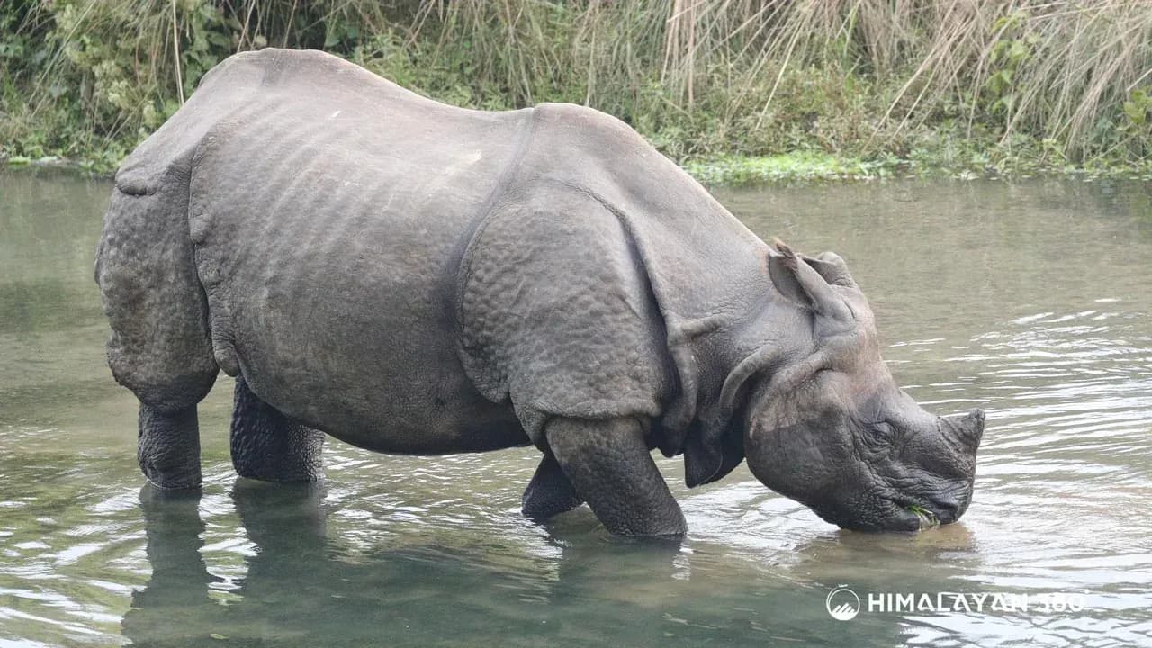
14 Days Wildlife and Birdwatching Photography Tour14 daysEasy$1,999
Everest Base Camp Trek14 days114.48 kmStrenuous$1,260
Everest Two Passes Trek16 days132.54 kmStrenuous$1,410

$965 per person

Himalayan360Everything there is to do in the Himalayas

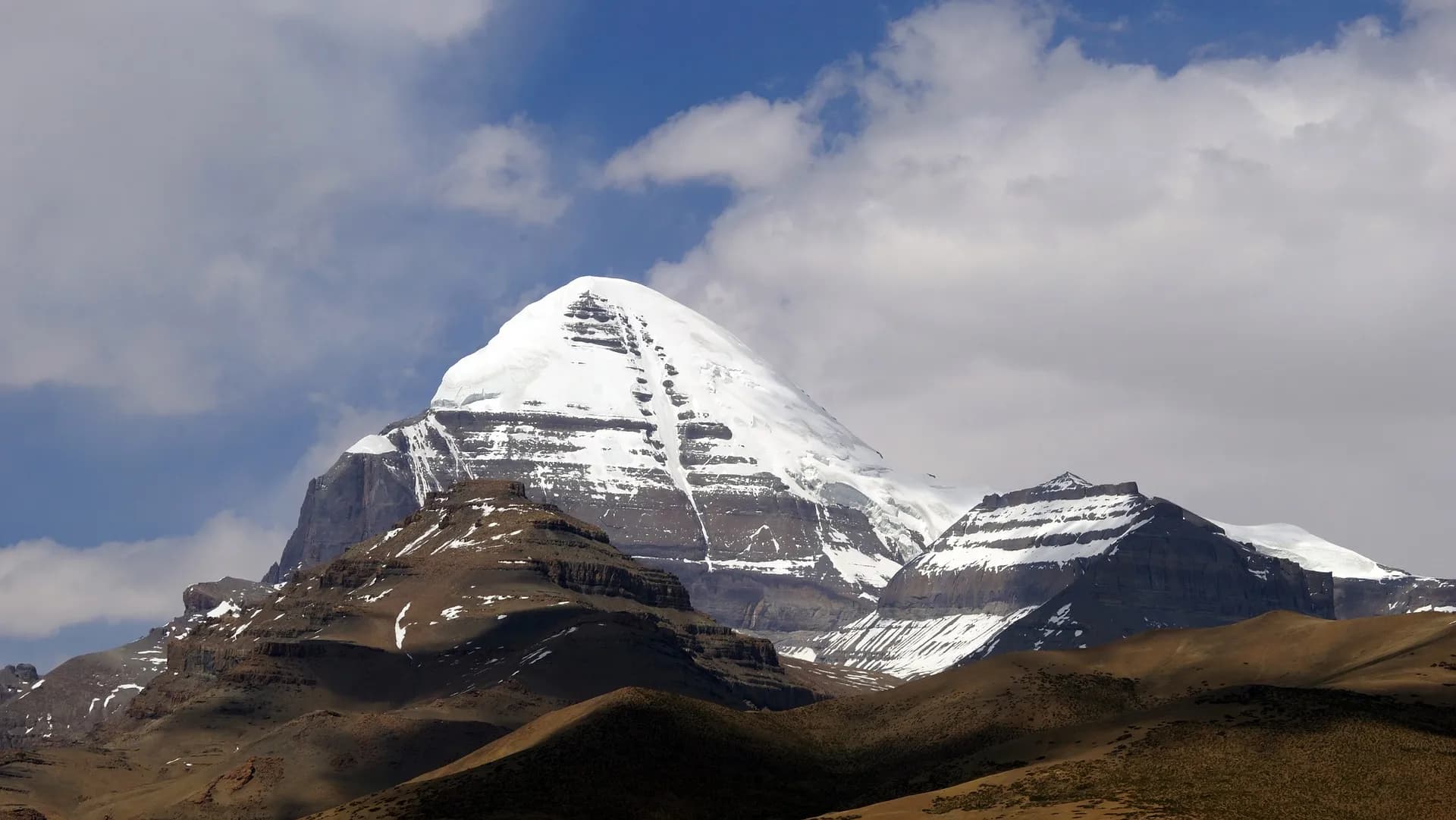
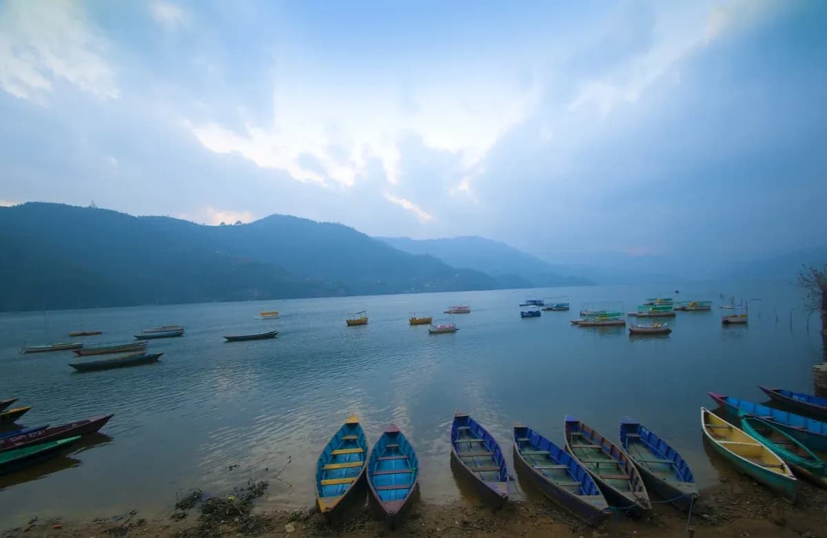
  • AdventureTrek the Himalayas, fly over them at sunrise, land at base camp, drift across the lake at Pokhara
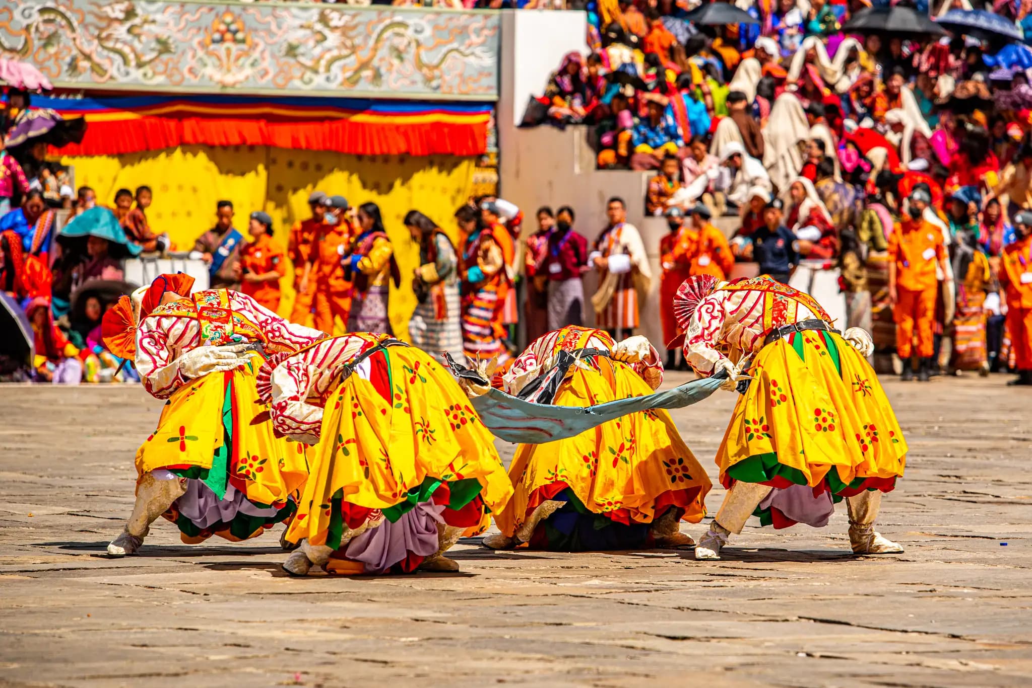
  • CulturalLearn Kathmandu’s temples, eat your way through the city, sit at a festival in Bhutan
  • SpiritualRoll out a yoga mat on the trail, walk to Muktinath, cross Tibet to Kailash

Every path, Himalayan360 has you covered.

Trip Planner