Upper Mustang at a Glance
| Destination | Lo Manthang, 3,840M, the walled capital |
| Trek duration | 16 days Kathmandu to Kathmandu, 10 walking days |
| Jeep duration | 11 days Kathmandu to Kathmandu |
| Highest point | Chogo La, about 4,280M, on the Ghar Gompa leg |
| Difficulty | Moderate. Long dry days and wind, no technical ground |
| Restricted area permit | USD 50 per person per day, no minimum, since 19 November 2025 |
| Conservation permit | ACAP, NPR 3,000, paid in rupees |
| Guide | Compulsory. Solo permits allowed since 22 March 2026 |
| Best months | October, then May. July works, which is rare in Nepal |
| Trek price | From USD 1,666 per person, USD 2,099 for two |
| Jeep price | From USD 1,699 per person, USD 1,999 for two |
| Accommodation | Teahouses. Better in Lo Manthang and Jomsom than between them |
Jeep, Trek or Motorbike: Which One Is Yours
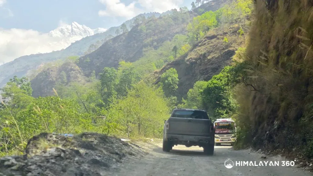
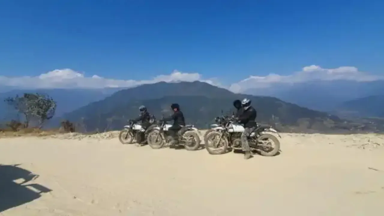
All three follow the same corridor to the same walled city. What changes is how many days you spend, what you pay per day, and how much of the landscape you meet at walking pace. The motorbike tour is the outlier: thirteen days on a Royal Enfield with a backup 4WD, and the wrong choice for anyone who has not ridden loose surfaces at altitude.
The Option Most People Should Actually Take
Drive the road sections, walk the trail sections, drive back. A large part of the classic route is the road now, and there is no pleasure in walking a gravel highway while jeeps pass you. Drive to Kagbeni or Chele, walk the variants through Tetang, Dhakmar and Ghar Gompa, and you get the trail that still exists, the village nights, and a shorter permit bill.
| Your situation | Take |
| Sixteen days free and ordinary hill fitness | The trek |
| Ten days total, including international flights | The jeep |
| Travelling with children or with parents | The jeep |
| Going in December, January or February | The jeep |
| Confident off road rider | The motorbike |
| Want the trail but not the road sections | Drive in, walk the upper valley |
Is the Jeep Cheaper Than the Trek?
In total, usually. Per day, no. Our own price list settles it.
| Group size | Trek, 16 days | Jeep, 11 days | Per day, trek | Per day, jeep |
|---|
| 2 people | USD 2,099 | USD 1,999 | USD 131 | USD 182 |
| 4 to 6 | USD 1,822 | USD 1,799 to 1,820 | USD 114 | USD 164 |
| 9 or more | USD 1,666 to 1,766 | USD 1,699 | USD 104 to 110 | USD 154 |
Group size moves the price more than the format does. A pair pays USD 2,099 each for the trek where the largest group pays USD 1,666. If you are two people reading a "from USD 1,666" advertisement anywhere, including ours, the two person number is the one that applies.
The jeep now wins on permits, which is new. Under the old flat fee both formats paid USD 500 whatever they did. Under USD 50 per day you pay only for the days above Kagbeni, about four by jeep against nine or ten on foot. The permit line went from identical to roughly USD 200 against USD 450 to 500, a gap that widened by USD 250 to 300 per person overnight in November 2025, and almost no comparison page says so.
The jeep still costs more per day. A private 4WD, its fuel at remote prices and the driver's wage all sit on a trip with no porter. If you have the time, walking is the cheaper way to spend a day here. If you do not, driving is the cheaper way to see Lo Manthang.
What the Whole Trip Costs
Our packages include the permits. Budget for these on top.
| Line | Cost | Notes |
|---|
| Porter | USD 25 to 30 per day | Not included. One porter for two trekkers, 18 to 20KG |
| Travel insurance | Varies | Compulsory, excluded, must cover helicopter evacuation |
| Drinks, hot showers, charging, wifi | Rupees, cash | Everything above Kagbeni is charged separately |
Tips are yours to judge, for the guide and the driver or porter. The road makes an evacuation easier than on Manaslu, but a helicopter from Lo Manthang is still a helicopter, which is why insurance is not optional.
Upper Mustang Permits in 2026
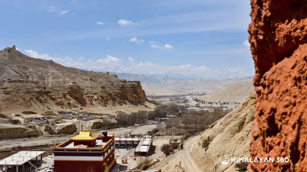
Two permits, plus a third that sources disagree about, and you cannot obtain any of them yourself.
| Permit | Cost | Issued by |
|---|
| Upper Mustang Restricted Area Permit | USD 50 per person per day, no minimum | Department of Immigration |
| Annapurna Conservation Area Permit (ACAP) | NPR 3,000, or NPR 1,000 for SAARC nationals. Under 10s free | NTNC, via Nepal Tourism Board |
| TIMS card | NPR 2,000 non SAARC, NPR 1,000 SAARC. Contested, see below | Nepal Tourism Board, through an agency |
ACAP is set and paid in rupees, whatever dollar figure you find quoted, including in our own older writing, and it costs double if you buy it at a checkpost rather than before you go.
On the TIMS card, sources disagree and the government one says yes. The Nepal Tourism Board's route table lists Upper Mustang among the routes needing an agency issued card, and no government statement exempts it, whatever operators say about the restricted area permit covering it. Budget for it, and ask your agency what they file.
The permit is never issued to an individual. A government registered trekking agency files it for you and names the licensed guide travelling with you. There is no counter to queue at and no freelance guide can file it, because it is the agency licence the Department checks.
Where the Restricted Area Actually Begins
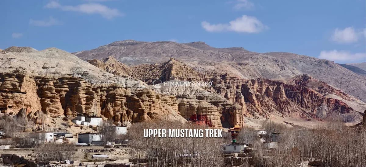
The Department defines the zone by ward rather than by village: Lomanthang Rural Municipality wards 1 to 5, Lo-Ghekar Damodarkunda wards 1 to 5, and ward 3 plus Satang village of ward 5 in Baragung Muktichetra. In plain terms, everything above Kagbeni, where the checkpost is. Kagbeni itself is outside it, with Jomsom, Marpha and Muktinath. The first village inside is Chhusang.
South of that line an ACAP is all you need. What USD 50 a day buys above it is Tibetan Buddhist culture rather than mountain scenery: Nilgiri, Dhaulagiri and the Annapurnas are seen better, and for nothing, from Lower Mustang.
How the Day Count Works
You pay for the days you are inside the restricted area and only those. That is the whole substance of the November 2025 change.
| Trip | Days above Kagbeni | Permit at USD 50 per day |
|---|
| 16 day trek, Kagbeni to Jomsom on foot | About 9 to 10 | About USD 450 to 500 |
| 11 day jeep tour | About 4 | About USD 200 |
Your agency counts the exact days when it files, and if you stay longer you settle the difference at the checkpost on the way out.
What you hand over: a passport copy, your Nepal visa, photographs, and insurance covering high altitude trekking with helicopter evacuation. Permits are issued the same working day, but not on Saturdays or public holidays.
What Changed, and When
Two separate decisions, four months apart, from two different offices. Most pages have merged them into one.
| Date | Who | What changed |
|---|
| 19 November 2025 | Cabinet, by amending the Immigration Regulations | The Upper Mustang permit becomes USD 50 per person per day. The USD 500 for the first ten days, and the ten day minimum with it, are gone |
| 22 March 2026 | Department of Immigration notice | The two trekker minimum for restricted area permits is removed. One person can now hold the permit |
The fee change was Upper Mustang only. The Department's own fee table proves it: Upper Dolpo is still on USD 500 for the first ten days, and Manaslu is still on USD 100 per week from September to November. If a page tells you every restricted area moved to a daily rate, it is guessing.
Why the Fee Was Cut
Not because the region became cheaper to protect. Trade through the Korala crossing into Tibet resumed in September 2025, the immigration post there opened in early November, and the fee change followed days later. The road carrying that trade was built straight up the valley the USD 500 was meant to protect, and Mustang's local government had lobbied for years on the argument that the money never reached the district.
Can You Trek Upper Mustang Solo?
You can hold the permit alone. You cannot travel alone. Since 22 March 2026 the Department will issue a restricted area permit to one person, where before it took a party of two and single trekkers were paired off with strangers. Solo here means a private trip: only paying client, own permits, own guide, and it costs more rather than less. The guide requirement is untouched, so neither decision makes this a place to walk into on your own.
Our own older Upper Mustang pages still say solo trekking is not allowed. So does the Trekking Agencies Association's fee page, and so did Google's summary the last time we checked. If you have been told you need a second trekker, that advice expired in March 2026.
How Hard Is the Upper Mustang Trek?
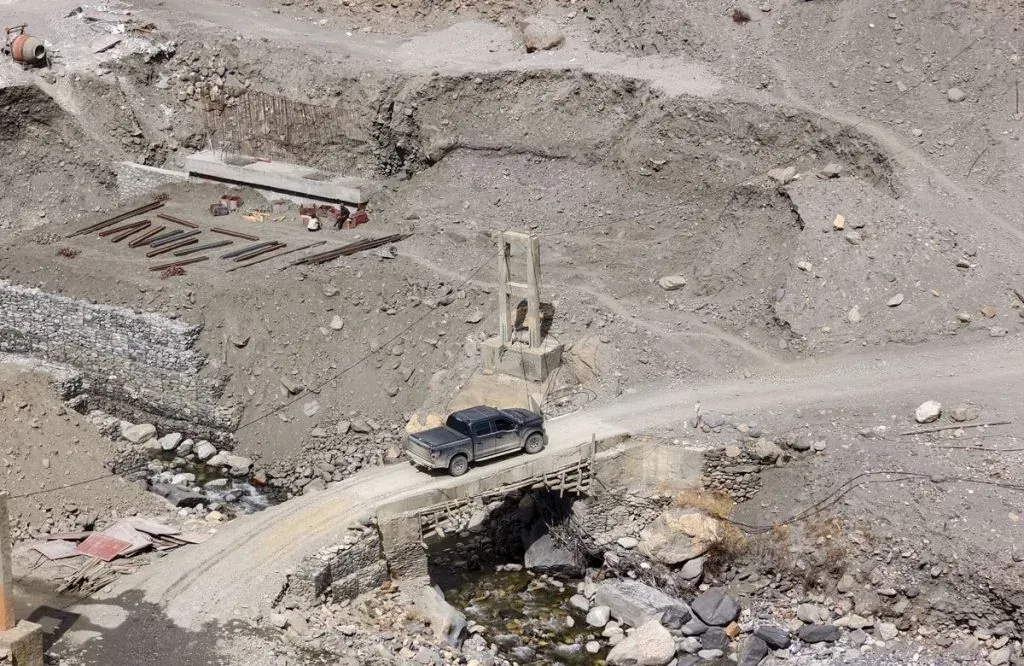
Moderate, and hard in a way people do not expect. There is no technical ground, no pass above about 4,300M, and nothing needing crampons in season. What makes it tiring is everything except the gradient.
- Ten walking days of five to seven hours, on loose gravel and dry earth rather than a made trail.
- The wind, and the dust it carries. A hard headwind up the valley from mid morning, and the thing first timers underestimate. It sets your start time.
- No shade and no water. Sun at 3,500M with no tree cover is its own fatigue.
The one genuinely steep section is the climb out of Chele on the second walking day. After that it is accumulation: over a ridge into a side valley, then again, on days that look short on the map and are not.
Can a Beginner Do It?
Yes, if you can walk six hours on hills two days running. A better first Himalayan trek than Manaslu or the Three Passes, because the altitude is modest and a road is within reach for most of the route. It is a poor one for anyone who has never walked several days back to back.
Fitness and Training
Six weeks is enough, built around time on your feet rather than speed: hikes of five to six hours on hills, two days back to back where you can, plus aerobic work three times a week.
Altitude on a Trip That Looks Low
Upper Mustang tops out around 4,280M and sleeps no higher than 3,840M, well below Everest Base Camp or the Manaslu Circuit, so altitude is a secondary risk here rather than the main one.
The risk sits with the jeep, not the trek. Walking from Kagbeni gains height over five days and the body keeps up. A vehicle can put you at 3,840M within a day or two of Pokhara at 820M, which is exactly the profile that produces symptoms. Anyone who says the jeep is safer because it involves less effort has the physiology backwards. Take the arrival afternoon easy, and descend if it does not settle, which is quick here because there is a road. Our altitude sickness guide covers the rest.
Upper Mustang vs the Annapurna Circuit
They share the Kali Gandaki and almost nothing else, and both trips pass through Jomsom.
| Upper Mustang | Annapurna Circuit |
|---|
| Highest point | About 4,280M, Chogo La | 5,416M, Thorong La |
| Permit | Restricted area, USD 50 per day, plus ACAP | ACAP, no restricted area permit |
| Guide | Compulsory by law | Not a restricted area requirement |
| Landscape | High desert, canyons, cave cities | Subtropical forest through to alpine |
| Culture | Tibetan Buddhist, Loba | Gurung and Thakali, then Tibetan influenced |
If you want a high pass and cheap access, walk the Annapurna Circuit. If you want the walled city and a landscape that looks like western Tibet, pay the permit and come here.
The Trek, Day by Day
Sixteen days, ten of them walking, two of them the road journey out and back, and one a rest day in Lo Manthang.
| Day | Route | Altitude |
|---|
| 01 | Arrival in Kathmandu | 1,400M |
| 02 | Permit filed, fly to Pokhara | 820M |
| 03 | Drive Pokhara to Kagbeni | 2,800M |
| 04 | Kagbeni to Chele via Chhusang. Restricted area begins | 3,100M |
| 05 | Chele to Syangboche | 3,800M |
| 06 | Syangboche to Ghami via Nyi La | 3,510M, pass about 3,990M |
| 07 | Ghami to Charang | 3,560M |
| 08 | Charang to Lo Manthang | 3,840M |
| 09 | Lo Manthang, rest day and the Chhoser caves | 3,840M |
| 10 | Lo Manthang to Dhakmar via Ghar Gompa and Chogo La | 3,820M, pass about 4,280M |
| 11 | Dhakmar to Ghiling | 3,570M |
| 12 | Ghiling to Chhusang | 2,980M |
| 13 | Chhusang to Jomsom | 2,720M |
| 14 | Drive to Pokhara | 820M |
| 15 | Drive to Kathmandu | 1,400M |
| 16 | Departure | |
The return is deliberately not the outward route. Day 10 comes back through Ghar Gompa, the oldest monastery in the region, over the highest pass of the trip. Check for it on any competing itinerary: a trip that returns the way it came is a shorter trip at the same price. Full detail on the Upper Mustang Trek page.
A note on pass heights. Chogo La at about 4,280M is solid: elevation models put the saddle at 4,288M to 4,292M. Nyi La is not. The 4,010M and 4,020M printed almost everywhere, including on our own trip page, trace to a single OpenStreetMap node, against 3,950M recorded by researchers on the pass itself.
The Jeep Tour, Day by Day
Eleven days, five of them driving, one full day in Lo Manthang.
| Day | Route |
|---|
| 01 | Arrival in Kathmandu |
| 02 | Permit filed, flight to Pokhara |
| 03 | Drive Pokhara to Tatopani |
| 04 | Tatopani to Kagbeni, with Muktinath |
| 05 | Drive to Ghami via Syangboche |
| 06 | Drive to Lo Manthang |
| 07 | Lo Manthang and Chhoser |
| 08 | Drive back to Jomsom |
| 09 | Drive to Pokhara |
| 10 | Drive to Kathmandu |
| 11 | Departure |
It includes what the trek does not: Tatopani, with its hot springs, and Muktinath. Note days 5 and 6: Jomsom to Lo Manthang is 96KM of mostly unsealed road, six to ten hours in practice, which is why it is split in two. It still gains 1,000M faster than any walking day, so plan an easy afternoon on arrival. Full detail on the Mustang Overland Jeep Tour page.
Lo Manthang and What Is Actually In It
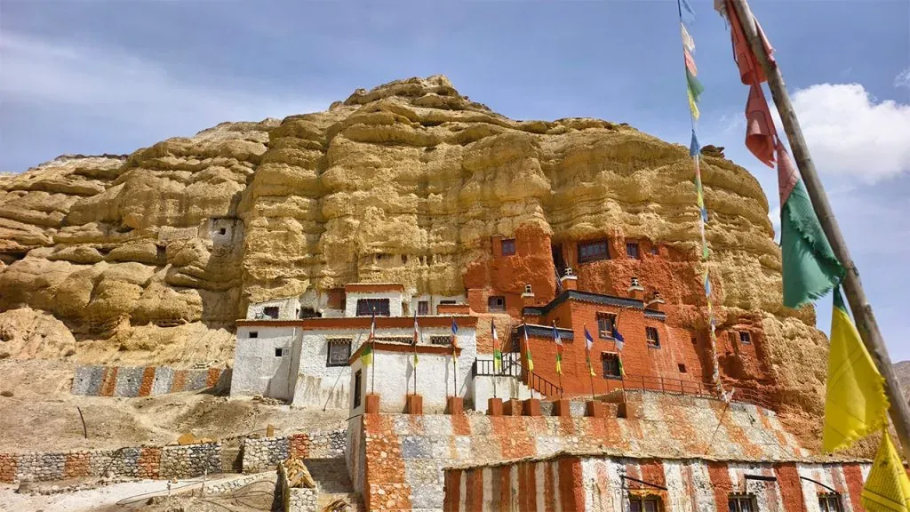
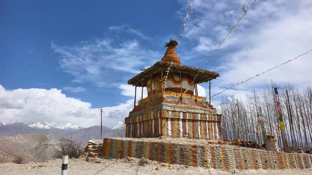
Lo Manthang is a walled town at 3,840M, the old capital of the Kingdom of Lo. The monarchy went with Nepal's own in 2008, but the four storey palace still stands on the square and the family remains. Lomanthang Rural Municipality counted 1,430 people in 488 households at the 2021 census, fewer people than a large village at home.
On the dates you will see quoted. The palace is dated to 1440 or 1441, and even that is contested: UNESCO credits Ame Pal's son, the Department of Archaeology's journal credits Ame Pal himself. The 1442 on trekking sites matches neither, and the common 1380 traces to a popular history from 1967.
What you go inside:
- Thupchen and Jampa Lhakhang. The two great fifteenth century assembly halls. The wall paintings in Jampa are why art historians come here at all.
- The Chhoser sky caves. A cliff face north of the town honeycombed with man made caves on several storeys, reached by ladders. The standard rest day trip.
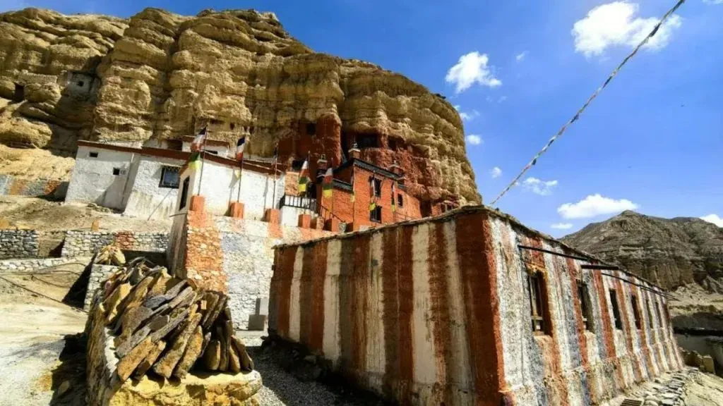
- Namgyal Gompa, on the ridge above, the working monastery rather than the museum piece.
Some itineraries list Mu Gompa here. It is in the Tsum Valley, in the Manaslu region, several hundred kilometres east, and an itinerary that offers it was written by somebody who has not been.
Give Lo Manthang a full day. The monasteries are not always open, and a guide who sends word ahead is the difference between the paintings and a locked door.
A magnitude 5.3 earthquake was recorded at Lo Manthang on the evening of 8 September 2026, damaging an unoccupied house and the outer wall of Chode Gompa. District officials confirmed the next day that roads, trails and lodges are operating normally and Upper Mustang is open.
Which Month Should You Go?
October if you want certainty. May if you want Tiji. July if you want a Himalayan trip when the rest of Nepal is shut.
October
The most reliable month: the monsoon has washed the haze out and the air is at its clearest, the trails are dry and the wind is at its most manageable.
April and May
Warmer, and the season of the Tiji Festival. The trade off is haze building through late April and May, so the views are less sharp than in autumn, and a stronger wind.
June to August, the Rain Shadow Season
The Annapurna and Dhaulagiri wall strips the monsoon out of the air before it arrives, so while the south side of the range sits under cloud, the trail north of Kagbeni stays dry. Fewer people, lower prices, and the only time of year the fields are green.
The catch is the approach. The worst of the road from Beni is not in Mustang at all but in the 42KM through Myagdi, most of it classed as high geological risk and dropping to one way traffic after rain. Build two spare days into a summer trip and it works. Do not book one against a tight return flight.
December to February, and Whether Winter Is Worth It
For a narrow group of travellers, yes. For most people, no, and the jeep is the honest answer instead.
The limiting factor is not snow, because the rain shadow keeps the trails dry rather than buried. It is cold, and closure. ICIMOD fieldwork found that between half and two thirds of Lo Manthang's people leave for about three months each winter, and the lodges go with them: a survey published in 2018 counted more than twenty lodges in the town and three of them open in winter.
A winter departure needs a guide who has confirmed open lodges village by village before you leave Jomsom. If you want winter Upper Mustang rather than winter trekking, take the jeep tour. Our older Upper Mustang trek in winter page goes further.
Why Every Upper Mustang Weather Table Disagrees
Monthly temperature tables for Upper Mustang contradict each other by twenty degrees, sometimes on the same website. Ours did. There is no weather station at Lo Manthang. The readings that feed apps and blog tables come from Jomsom, 2,741M, on the valley floor, and Lo Manthang sits 1,100M higher on an open plateau. A January table showing minus two is describing Jomsom; one showing minus twenty is describing the plateau. Every monthly table labelled Lo Manthang is modelled rather than measured.
The honest substitute is the one station in this valley with published normals.
| Month | Average high | Average | Average low | Rainfall |
|---|
| January | 10.4°C | 4.3°C | -1.9°C | 14.4 mm |
| February | 11.8°C | 5.6°C | -0.6°C | 21.2 mm |
| March | 15.2°C | 8.6°C | 2.0°C | 30.4 mm |
| April | 18.6°C | 11.5°C | 4.4°C | 21.4 mm |
| May | 20.6°C | 14.2°C | 7.8°C | 18.6 mm |
| June | 22.6°C | 17.4°C | 12.1°C | 31.8 mm |
| July | 22.8°C | 18.5°C | 14.1°C | 46.8 mm |
| August | 22.6°C | 18.2°C | 13.8°C | 43.9 mm |
| September | 21.3°C | 16.4°C | 11.5°C | 36.0 mm |
| October | 18.0°C | 11.8°C | 5.5°C | 18.2 mm |
| November | 14.8°C | 8.2°C | 1.5°C | 4.6 mm |
| December | 12.3°C | 5.6°C | -1.2°C | 5.1 mm |
| Year | 17.6°C | 11.7°C | 5.8°C | 292.4 mm |
Nepal Department of Hydrology and Meteorology normals for Jomsom, 1991 to 2020. There is no equivalent for Lo Manthang, on our own older weather page or anywhere else, because there is no station there.
The nearest record inside Upper Mustang itself is Chhoser: a minimum of minus 20°C in 2013 against Jomsom's minus 11.6°C. Two stations in one district, more than eight degrees apart at the cold end, and both get published as "Upper Mustang". Rainfall splits the same way: about 292 mm a year at Jomsom against nearer 165 mm at Lomanthang.
Figures you will see elsewhere that we could not stand behind, and have therefore not printed: a record high of 35°C, four degrees above anything Jomsom has recorded, and winter nights of minus 25°C, five degrees below the coldest reading in the record.
So read the valley station as a floor, and pack for the coldest night at the highest village on your itinerary rather than for the month. Our older Upper Mustang weather page carries a month by month table: read it as the valley floor.
The Wind Decides Your Day
Mornings are calm. The valley wind arrives between 9 and 10 AM and peaks around 2 PM, as air pours up the Kali Gandaki toward the Tibetan plateau. Published measurements record afternoon speeds of 15 to 20 metres per second, about 55 to 72 KM/H, and the strongest reading in a five year record from a wind mast at Kagbeni is 22.2 metres per second, about 80 KM/H. The 150 KM/H gusts quoted elsewhere appear nowhere in that record, so they do not appear here. One fact settles how serious it is: a 32 kilowatt wind turbine went up at Kagbeni in 1992 and the wind destroyed it inside two months.
So you start early, earlier than most people expect. The useful window is first light to mid morning, which is why groups here leave at 6 AM and take the exposed sections first. It applies in a vehicle too: photographs taken after midday in the wind season are mostly haze.
The Tiji Festival, and Whether to Plan Around It
Tiji is a three day festival of masked dance in the square at Lo Manthang, retelling the story of Dorje Jono driving a demon out of the kingdom. Monks from Chode monastery dance it, and it is the one time of year the town is genuinely busy: conservation area staff counted 307 foreign visitors on the opening day in 2026.
- The dates move, and published dates are often wrong. Tiji follows the Tibetan lunar calendar, so it usually lands in May but the exact days are confirmed late. In 2026 it ran 13 to 15 May, while most operators advertised 14 to 16 May all year. Do not book non refundable flights against a date you found on a blog, including ours.
- Beds are the constraint, not permits. Lo Manthang's rooms go months ahead, and a Tiji departure booked late sleeps somewhere else and drives in each morning.
If you cannot commit early, go in October instead. The wall paintings and the caves are there in every month.
Getting There: Fly to Jomsom or Drive?
Two ways in, and the choice is about how much delay risk you carry. The flight from Pokhara to Jomsom saves the better part of two days, is weather dependent all year, and is excluded from most packages. The road through Beni and Tatopani is long and dusty but is not cancelled by cloud, is included in our price, and buys you the hot springs at Tatopani.
Whichever you take, keep one spare day at the Jomsom end. That day is the difference between a missed international flight and an inconvenience.
Teahouses, Food and Cash
Teahouses throughout, and better than the region's reputation suggests where the road has brought lodges with attached bathrooms. Between those, expect twin rooms, thin mattresses and no heating outside the dining room. Food is the standard Nepali and Tibetan trail menu: dal bhat with refills, thukpa, momos and Tibetan bread. Marpha is the apple town, so apple pie and brandy appear at each end.
Carry rupees. There is no reliable ATM north of Jomsom and no card payment in Upper Mustang villages. Hot showers, charging, wifi, bottled water and monastery donations are all cash, and over ten days they add up.
| Where | What to expect |
|---|
| Jomsom and Kagbeni | The best rooms on the route. Bank and shops in Jomsom |
| Chhusang, Chele, Syangboche, Ghiling | Small, basic, few lodges. Reserve in October and May |
| Ghami and Charang | Simple teahouses, reliable food |
| Lo Manthang | Several lodges, some with attached bathrooms. Fills for Tiji |
What to Pack
This is a wind and sun list rather than a snow list, which is what separates it from an Everest one.
The four that decide the trip
- A genuine windproof shell, jacket and trousers. It is for the wind, not the rain.
- A buff or face covering, for dust. The cheapest comfort on the trip.
- Category 3 or 4 sunglasses, plus SPF 50. High altitude sun, no shade, pale reflective ground.
- A sleeping bag for the coldest night on your itinerary. Rooms are unheated. Minus ten covers spring and autumn, and winter wants considerably more.
Everything else
 Trek
Trek By air
 Pilgrimage
 Festivals
 Wildlife
 Luxury
 Yoga
Yoga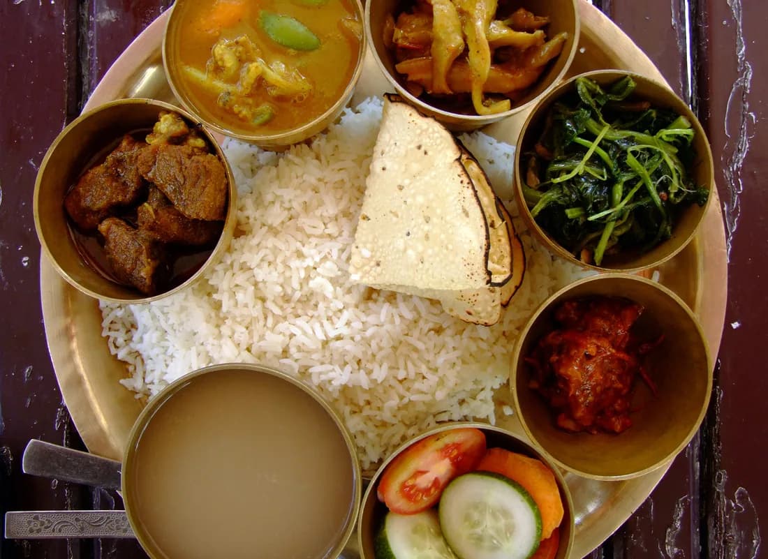 Food
Food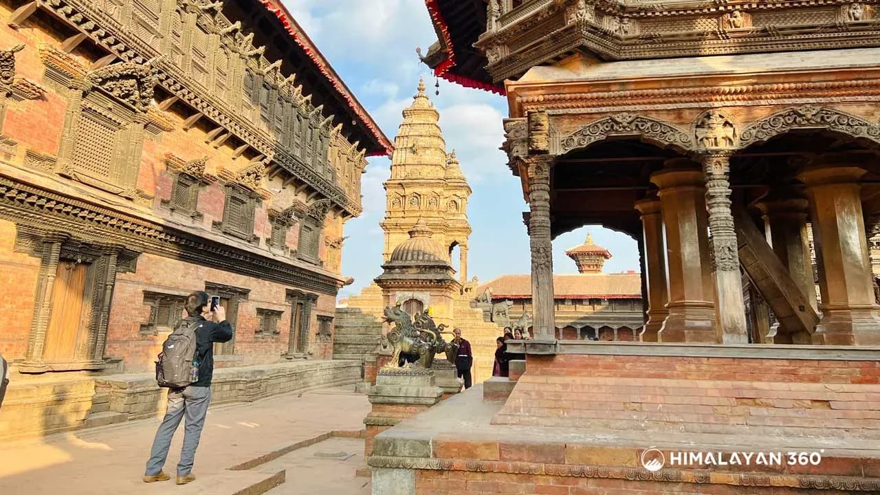 Heritage